Up the Missouri, over the divide, down to the Pacific
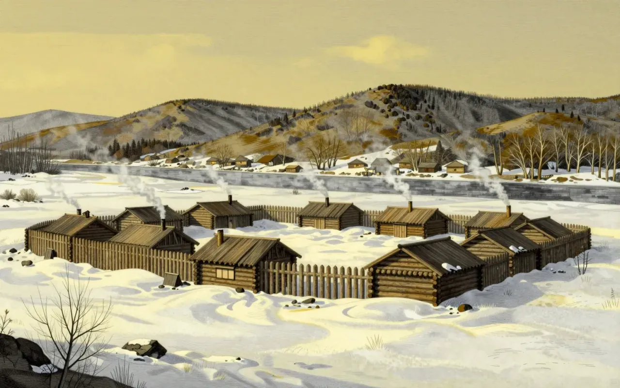
The Corps of Discovery left Camp Dubois in Illinois on 14 May 1804 and reached St Louis again on 23 September 1806, a journey of 862 days. Around forty-five people set out, including Clark’s enslaved manservant York and, from later in 1804, the Shoshone woman Sacagawea and her husband Toussaint Charbonneau. The party ascended the Missouri River, wintered near present-day North Dakota, crossed the Continental Divide, and descended the Clearwater, Snake and Columbia rivers to the Pacific, wintering a second time near today’s Astoria, Oregon, before retracing much of the route home. Sergeant Charles Floyd, who died of illness in August 1804, was the expedition’s only fatality.
A ninety-year gap between the journals and the full record
Both captains kept journals throughout the journey, recording geography, botany and encounters with Native nations as they went. A private on the expedition, Patrick Gass, published the first account in 1807, but the fuller record appeared only in 1814, when Nicholas Biddle and Paul Allen produced a two-volume history that left out most of the scientific material on plants and animals. That abridged version remained the only widely available account for ninety years, so much so that some of the expedition’s own findings were later rediscovered and renamed by other naturalists before Reuben Gold Thwaites finally published the complete original journals in 1904 and 1905, followed by a further scholarly edition compiled by Gary Moulton in 2004.
An expedition built for empire as much as for science
President Jefferson’s written instructions combined several aims: finding the most direct water route across the continent for commerce, documenting the geography, plants and animals of the newly purchased Louisiana Territory, and establishing American sovereignty over Native nations and their lands ahead of European rivals. The expedition accordingly carried medals, ribbons and other gifts meant to open trade relations and assert a diplomatic presence, alongside instruction the captains had received in botany, astronomy and other sciences before departing. The scientific and imperial purposes were not separate tracks but part of a single mission, one that treated mapping the land and asserting a claim to it as the same task.
What the journals reveal and what they leave out
The journals themselves show the expedition’s colonial framing directly, using terms for Native peoples that modern historians read as demeaning even where the captains describe cooperative encounters. Sacagawea, who gave birth during the journey and later helped secure horses and safe passage through Shoshone territory, is described more warmly by Clark than by Lewis, and modern historians stress she served as an interpreter and diplomatic presence rather than as the expedition’s guide, a role popular memory sometimes exaggerates. York performed the same hunting, hauling and camp labour as his companions and, in November 1805, took part in a vote on where to locate the winter camp, yet unlike expedition members who received land grants and double pay, he returned to continued enslavement under Clark.
A route found, a passage not found
The expedition never achieved its central practical goal: there was no continuous water passage across the continent, only a demanding overland route between the upper Missouri and the Columbia river system that Native guides showed the party. What it did produce was roughly 140 maps, contact with more than seventy Native nations, and descriptions of over two hundred plant and animal species new to Western science, along with the first reasonably accurate depiction of how the Missouri, the Rocky Mountains and the Columbia related to one another. That cartographic and scientific record, once it finally reached the public in full, proved more consequential than the trade route Jefferson had originally hoped to find.
Worth reading for the parts that got cut first
The expedition is worth returning to less for its familiar image of hardy explorers than for the parts of the record that were cut, softened or delayed for a century: the extent of the scientific findings, the specific and unequal treatment of York and Sacagawea, and the plain colonial purpose behind an otherwise remarkable feat of endurance and observation. Readers who already know the outline gain the most from tracing how the story changed between the captains’ own notebooks, the abridged 1814 version, and the full journals finally published in 1904, since each stage reveals something about what earlier generations wanted the expedition to mean.