Jayavarman VII’s last capital
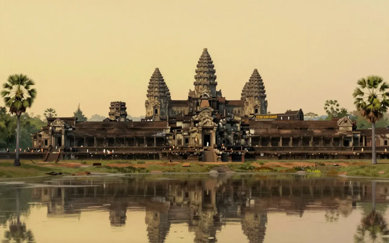
Angkor Thom was established in the late twelfth century by Jayavarman VII as the final capital of the Khmer Empire, replacing earlier royal centres in the Angkor region. Construction on its temples continued for over a century after the city’s initial founding, with the Mangalartha temple, completed in 1295, recorded as the last structure built within its walls. The city functioned as the empire’s political and religious centre during this final phase of Khmer power, before its later abandonment. Its layout, scale, and central temple mark it as one of the most ambitious urban projects of the medieval Khmer state, built at a point when the empire’s resources and religious ambitions were both at a high point.
Nine square kilometres behind laterite walls
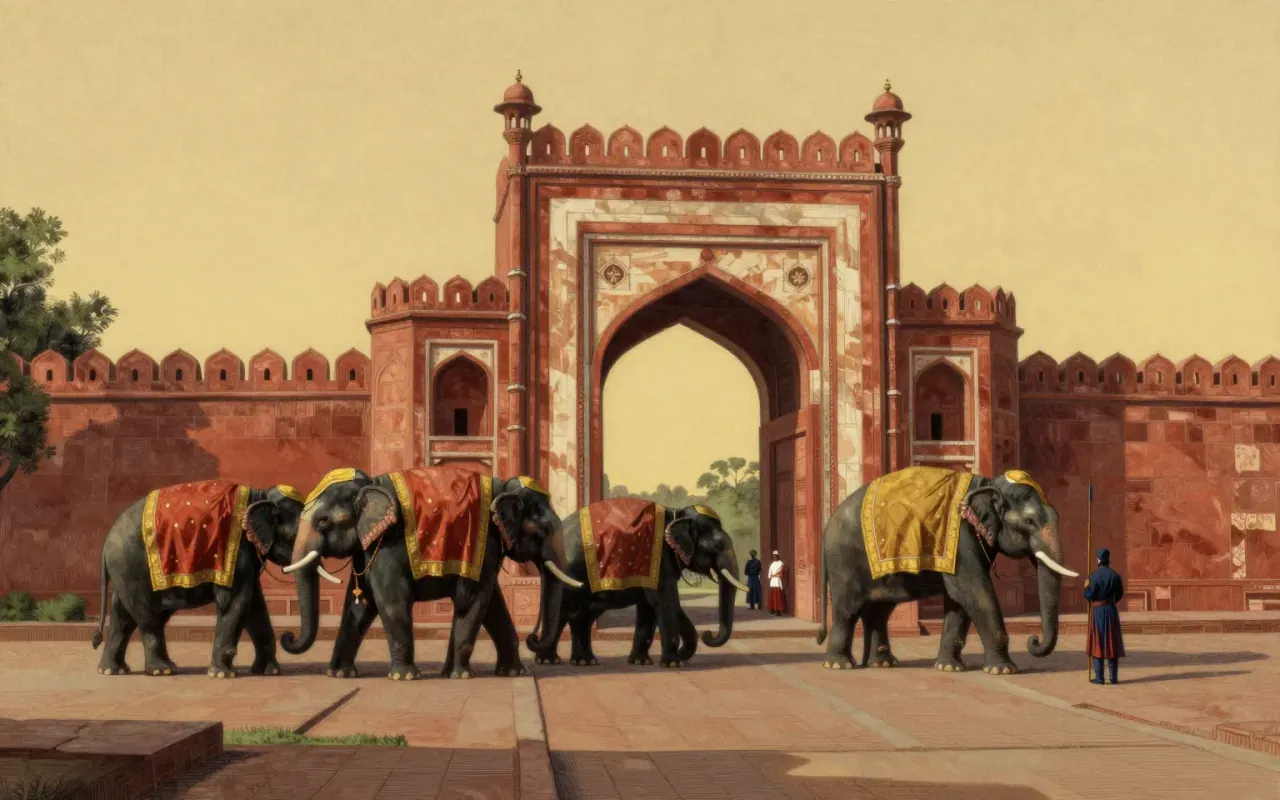
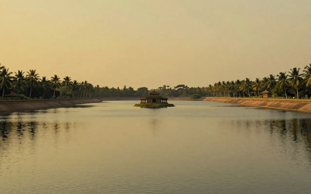
The city occupies roughly nine square kilometres, enclosed by laterite walls eight metres high running three kilometres along each side, with a moat running outside them. Four gates aligned to the cardinal directions provided the main points of entry, supplemented by a fifth, the Victory Gate, positioned five hundred metres north of the eastern gate. This scale of walled urban space was unusual for the period and region, and required a substantial and sustained labour effort to build and maintain, implying a level of centralised authority and resource control consistent with what is otherwise known about Jayavarman VII’s building programme across the wider Angkor area, which also included hospitals and rest houses along royal roads.
The Bayon and its towers of faces
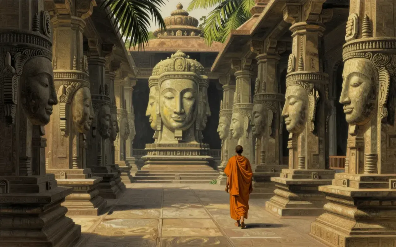
At the city’s heart stood the Bayon, Jayavarman VII’s state temple, whose towers rise twenty-three metres and carry large carved faces looking outward toward each of the compass points from the gates. Archaeologists interpret the city’s overall design, the enclosing walls and the moat around them, as a deliberate architectural representation of the mythical mountains and oceans said to surround Mount Meru in Hindu-Buddhist cosmology, with the Bayon standing in for the sacred mountain itself. Causeways crossing the moat carry rows of carved figures, devas on one side and asuras on the other, engaged in a tug-of-war with a naga, a scene drawn directly from Hindu mythology and repeated at other Angkor-period sites.
A city built to model the cosmos
The cosmological reading of Angkor Thom’s layout is now the standard scholarly interpretation, but it depends on inference from architectural form and comparison with religious texts rather than on an explicit contemporary statement that the city was built to represent Mount Meru. Additional secondary shrines, including Baphuon, Phimeanakas, and four corner structures dedicated to Avalokiteshvara, complicate a purely single-purpose reading of the site, since they represent distinct religious dedications layered onto the same walled city over time. Population estimates for the city before its abandonment, put at between eighty thousand and one hundred fifty thousand, also carry the same uncertainty common to pre-modern urban population figures generally, since no contemporary census survives to confirm them.
What the inscriptions and later poems say
Direct evidence for how Angkor Thom’s builders understood their own city comes chiefly from inscriptions, one of which describes Jayavarman VII in terms of a bridegroom and the city as his bride, a formulation suggesting the city was conceived in explicitly personal and religious terms rather than purely administrative ones. Long after the Khmer court had left the site, a Khmer-language verse composition from 1622, known as the Poem of Angkor Wat, still recorded admiration for the splendour of the wider Angkor complex, indicating that memory of the site’s grandeur persisted among Khmer writers well after its political importance had faded and its population had moved elsewhere.
Sacked, abandoned, rediscovered
The end of Angkor Thom as a functioning capital followed an attack by the Ayutthaya Kingdom, after which the Khmer court relocated toward what became Phnom Penh. By 1609, an early Western visitor to the region recorded finding the site uninhabited, evidence that abandonment was substantially complete within a few centuries of the city’s final building phase. Angkor Thom is worth attention today both for the scale of its surviving architecture and for what the site demonstrates about how a medieval state expressed religious cosmology through urban planning, a case where wall height, gate placement, and temple carving all serve a coherent symbolic purpose rather than function as separate decorative elements.