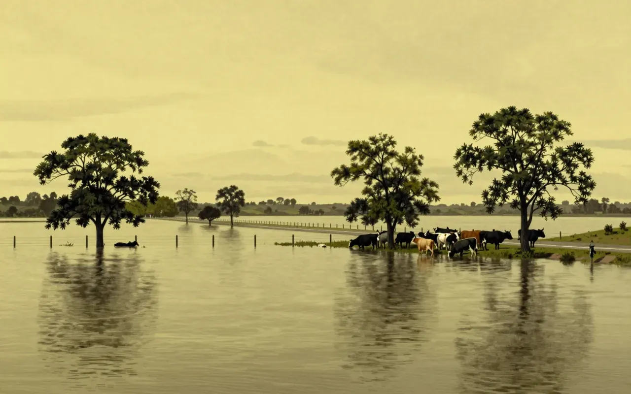
Gundagai, 1852, still the deadliest on record
Australia’s deadliest flood on record struck the town of Gundagai in 1852, killing 89 people in a disaster that has never been matched in death toll by any later Australian flood, including far more recent and more extensively documented events. This early catastrophe set what has proven to be a durable benchmark, and it reflects how flooding has posed a serious hazard in parts of Australia since well before the country’s federation, shaped by river systems and settlement patterns that placed towns directly in the path of periodic but severe flood events, often with construction and planning standards, in the nineteenth century, that gave residents little practical protection against the kind of sudden and severe flooding the country’s river systems could periodically produce.
A recurring vulnerability across two centuries
Serious flooding recurred through the following century in a genuinely repetitive pattern. The 1867 Hawkesbury River flood in New South Wales killed twelve people, the 1893 Brisbane flood killed eleven, and Victoria’s 1934 Yarra River flood proved especially deadly, killing 35 people in a single event. The town of Maitland, in New South Wales, experienced flooding severe enough to warrant historical record on at least nine separate occasions between 1820 and 1955, illustrating a chronic vulnerability in some locations that persisted across multiple generations rather than reflecting any single unusual event. This long historical record establishes flooding as a recurring rather than exceptional hazard across large parts of Australia’s populated river valleys.
A La Niña and a cyclone arrive together
The 2010 to 2011 Queensland floods followed a specific and well-documented meteorological combination. A strong La Niña weather pattern brought unusually wet conditions to eastern Australia through the closing months of 2010, compounded by Tropical Cyclone Tasha, which added substantial additional rainfall on top of an already saturated landscape. Queensland recorded its wettest December on record during this period, with average rainfall of 209.45 millimetres exceeding the state’s previous record set in 1975. Climate scientist Kevin Trenberth suggested that broader climate change may have contributed to the unusually high precipitation rates involved, though other researchers cautioned against drawing overly definitive conclusions from a single, if severe, weather event.
The Brisbane River’s tenth-highest peak
The resulting flooding affected an extraordinary proportion of the state. More than 200,000 people were affected across 41 local government areas, with over seventy-eight percent of Queensland eventually declared a disaster zone and approximately 29,000 homes and businesses inundated by rising water. The Brisbane River itself peaked at 4.46 metres on 13 January 2011, roughly the tenth-highest level recorded in the city’s history, while essentially every major river system south of the Tropic of Capricorn flooded to some degree, affecting towns including Rockhampton, Bundaberg, Brisbane, and Ipswich in a disaster whose geographic reach extended across a substantial share of the state’s populated southeast rather than remaining confined to any single river catchment.
An inland tsunami at Grantham
The flooding’s most sudden and lethal episode struck the Lockyer Valley on 10 January, when more than 160 millimetres of rain fell within thirty-six hours on Toowoomba, a city sitting some seven hundred metres above sea level, an elevation that made the subsequent flash flooding especially unexpected. Soil already saturated from three weeks of near-constant rain caused local creeks to burst violently, and the resulting surge devastated the town of Grantham, where flood waters reached seven to eight metres in height. Nine people died in Grantham alone, with sixty-six initially reported missing, and Queensland Premier Anna Bligh described the event as an inland tsunami, a description that captures both the water’s sudden violence and its distance from any coastline.
A dam, a class action, and a decade of litigation
Total economic costs from the 2010 to 2011 floods were assessed in a 2016 review at approximately 14.1 billion Australian dollars, with insured losses alone totalling 2.38 billion dollars, making the event one of the costliest disasters in Australian history. A lasting controversy centred on the operation of the Wivenhoe Dam upstream of Brisbane, with some engineers arguing that mismanagement of the dam’s water releases worsened flooding along the Brisbane River, a claim the dam’s operators disputed. A class action representing some four thousand flood victims was filed in 2014, and the New South Wales Supreme Court found negligence in November 2019, leading to a 440 million dollar settlement in February 2021, though the dam operator Seqwater won an appeal later that year, and the High Court declined to review the case further in 2022.